
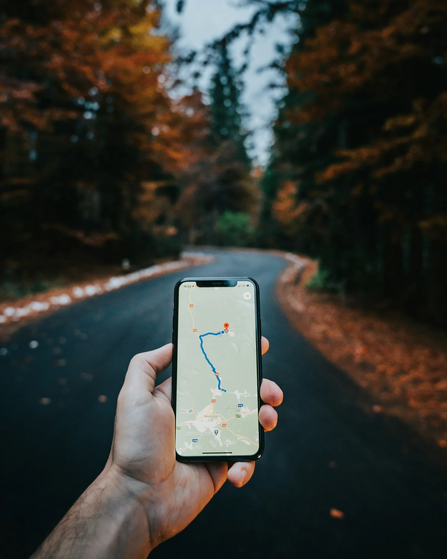
Prepare your offline maps
Prepare for a loss of service, stay oriented, and learn to share your location with rescuers.
In this guide
Prepare before the trailhead
Study your route and its junctions, landmarks, and exit options. Download the maps you need before leaving reliable service. Carry a physical map and compass as a backup, and learn how to use them.
As a practical check, open your downloaded map without a connection before your trip. Confirm that the route and surrounding terrain are available, rather than assuming a saved destination includes an offline map.
Stay oriented as you go
Keep track of signs, junctions, and recognizable terrain. Pause when the map and your surroundings stop matching. Know your location throughout the outing, and do not rely on phone maps that need a data connection.
Keep your phone charged and carry appropriate backup power. Learn how to find and read your coordinates before an emergency.
Find your coordinates in decimal degrees
- For SLCOSAR, share latitude and longitude in decimal degrees when available.
- This gives our team the coordinate format it uses without converting a three-word location.
- In an emergency, call 9-1-1 first and follow the dispatcher’s instructions.
- Do not delay calling to install an app or change a setting.
Latitude first. Longitude second. Decimal degrees use one decimal number for each coordinate. In Utah, latitude is positive and longitude is negative (west).
Read every digit, the decimal points, and the minus sign. Ask dispatch to read the coordinates back. Share your current position—not a trailhead, destination, saved pin, or someone else’s location.
AllTrails: open GPS details
- Open AllTrails and tap Navigate at the bottom. Select a route, or tap Start to begin an activity.
- Swipe up on the bottom drawer, then tap GPS details to view your current coordinates.
- On iPhone: tap the coordinates to cycle formats until you see decimal degrees—two decimal numbers like the example above. The word “degrees” alone does not identify the format.
- On Android: check the format shown. AllTrails documents tap-to-change formats for iPhone only. If yours is different, use the Google Maps steps below or tell dispatch exactly what your screen shows.
On either platform, press and hold the coordinates to copy them. Send them only through the method the dispatcher requests.
Google Maps: check your location, then drop a pin
- Open Google Maps with location access enabled. Tap the Your location target button to center the map on the blue dot. Allow the location to settle.
- Zoom in, then touch and hold the map at your blue-dot position to drop a red pin. Confirm it matches your current position; a misplaced pin gives coordinates for the wrong spot.
- Android: look for the coordinates in the search box. iPhone: open or swipe up the dropped pin’s information card to find the coordinates.
- Read the latitude and longitude to dispatch, preserving every digit and the minus sign. Explain that these are from a pin placed at your blue-dot position.
A large pale-blue circle means the location is uncertain. A gray or missing dot may indicate an old location. Tell dispatch if the position seems wrong; do not guess.
If your screen shows another format
Degrees, minutes, and seconds—or degrees and decimal minutes—are different from decimal degrees. Do not remove their symbols or guess a conversion. Read the complete display, including any N, S, E, or W, and let the dispatcher guide you.
Practice before you need it
- Find these screens before your trip; menus can vary by app version.
- GPS accuracy varies, so also describe your trail, canyon, and landmarks.
- Finding coordinates does not send a rescue request.
- Sharing them requires a working communication method.
- Stay in a safe place and tell dispatch if you move.
What about what3words?
Use decimal-degree coordinates first when available. what3words identifies a small map square with three words, but our team must convert those words to decimal degrees. That extra step can delay locating you.
If what3words is the only location reference you have, tell dispatch rather than withholding it. Read all three words exactly, in order, and confirm them. Follow any instructions to provide coordinates or another location reference.
The app can find its three-word reference using GPS without mobile data, but this does not contact emergency services. Accuracy still depends on your phone’s location estimate. Call 9-1-1 first and use the location-sharing method dispatch requests.
If you become lost
Stop and calmly assess your location with the tools you have. Avoid wandering or trying an unfamiliar shortcut. If you cannot return safely, call 9-1-1 and share your location or coordinates, starting point, last known position, and visible landmarks.
Once you have requested help, stay in a safe location unless there is an immediate threat or responders direct you to move. Tell dispatch about any change. Protect yourself from the weather and follow their instructions.
Keep building your skills
Explore the full guide collection for preparation, navigation, and seasonal topics.
Back to all guides