
Storm &Flash Flood Safety
Check the forecast. Adjust the plan. Get home safely.
Weather update · October 9, 2026 · Based on NWS information issued at 1:41 p.m. MDT
October 10–12: Reconsider outdoor plans
Heavy rain and strong winds are forecast across Utah beginning Saturday afternoon and evening, with flooding possible into early next week. The Salt Lake Valley and Wasatch Mountains are under a Flood Watch from late Saturday night through Monday afternoon. Some central and southern Utah areas enter the watch Saturday afternoon. Additional rain may continue Tuesday.
Choose another day for exposed summits, long climbs and narrow canyons. Timing and impacts vary by location; check the latest forecast before leaving.
Watch: flooding is possible—prepare and change plans. Warning: flooding is occurring or imminent—take action. This dated summary is not a live alert feed.
Use the forecast for your route, elevation and entire return trip.
Do not let a summit, reservation or schedule make the decision.
On foot or in a vehicle, find a safe alternative.
Before you head out
- Check more than the rain icon. Review hourly rainfall, thunderstorms, wind, temperatures and active alerts for your actual route and elevation.
- Check access. Look for trail, canyon and road closures. Recheck before losing service; forecasts and alerts can change.
- Leave a trip plan. Share your route and return time. Carry offline maps, a charged phone and backup power; cell coverage is limited.
Hiking & climbing
- Leave exposed terrain early. Avoid summits, ridgelines and long climbs when storms threaten. Allow time for the entire descent.
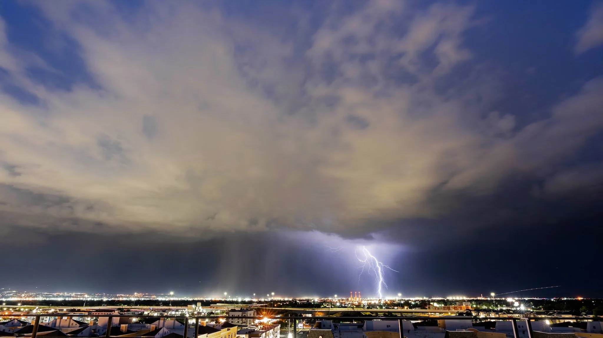
- Hear thunder? Seek shelter. Move toward a substantial building or enclosed hard-top vehicle. Tents, isolated trees and small rock overhangs are not safe lightning shelters. No outdoor location is fully safe.
- Respect wet rock. Slippery rock and runoff make climbing and scrambling hazardous. Do not climb wet sandstone; let it dry thoroughly and follow local guidance.
After reaching lightning shelter, wait at least 30 minutes after the last thunder before going back outside.
Canyons & campsites
- Rain upstream counts. A dry wash or slot canyon can flood while the sky overhead is clear.
- Choose terrain with an exit. Avoid narrow canyons, streambeds and low crossings when heavy rain or flooding is possible. Burned slopes and downstream drainages need extra caution.
- Camp above flood-prone ground. Stay out of washes and low spots beside streams. Identify an escape route before settling in.
Stay warm. Keep options.
- Rain plus wind can chill you fast. Carry rain protection, insulating layers, hat and gloves. Keep spare clothes dry.
- Pack for a delay. Bring a headlamp, extra food and water, first aid and emergency shelter.
- Turn back early. Worsening weather, unsafe footing, rising water or someone unable to stay warm are reasons to stop the outing. Gear does not make a hazardous route safe.
If water starts rising
Move immediately to higher ground away from the drainage. Do not wait to pack gear or try to outrun a flood along the canyon bottom.
Rising or suddenly muddy water, floating debris and a growing roar upstream are danger signs. Do not wait for every sign—or a phone alert—to act. Never attempt to cross floodwater.
If trapped or in immediate danger, call 9-1-1. Give your location, situation and number of people. Follow dispatcher instructions.
Turn around. Don’t drown.
- Never drive through a flooded road or around a barricade. You cannot judge the depth, current or whether pavement remains underneath.
- Trucks and four-wheel drive are not exceptions. Moving water can sweep away large vehicles. Do not follow another driver into the water.
- Check your drive home, too. Review UDOT Traffic, slow down for rain and visibility, and delay travel if no safe route is available.